WeatherAI Platforms
Weather Radar Pro
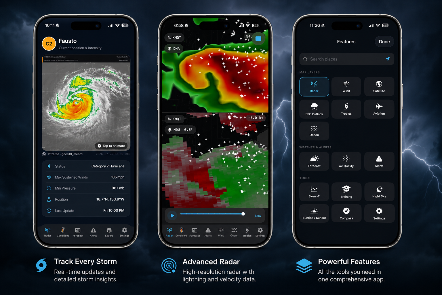
Professional dual-pol radar with storm-cell tracking, history replay, and severe-weather overlays — plus satellite, lightning, tropical, soundings, and more.
Neural ensemble forecasting. Real-time data fusion. Accurate to the mile.
Monitor every active storm in real time. AI intensity forecasts, forecast track uncertainty cones, storm surge models, and complete historical archives — everything in one place.
Open Tropical Tracker
Professional dual-pol radar with storm-cell tracking, history replay, and severe-weather overlays — plus satellite, lightning, tropical, soundings, and more.