Professional Data
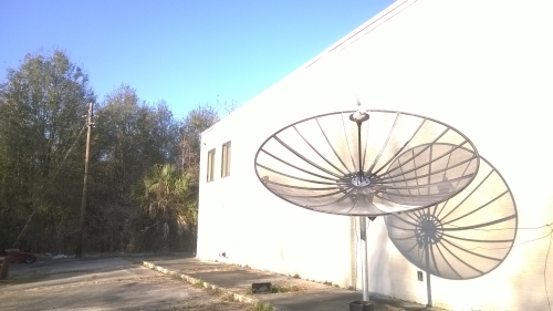 We receive data from a variety of sources, including the satellite dish pictured at right. We provide data to over 500,000 happy customers and are always looking for ways to improve.
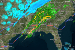
We receive GOES-13 and GOES-15 imagery every 15 minutes and high resolution Doppler radar imagery every 5 minutes. We use this data to create real-time data products such as sea surface temperature maps, imagery of tropical cyclones, and several radar products including base reflectivity, vertically integrated liquid, echo tops, and precipitation totals.
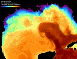
We overlay our sea surface temperature data with sea surface height contours provided by CCAR and Dr. Robert Leben.
Atmospheric Data
Real-Time Sea Surface Temperatures